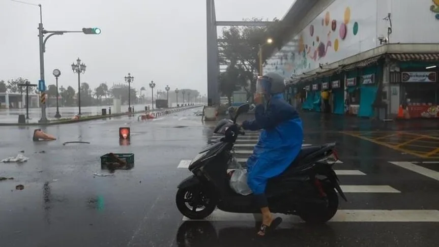
Heavy rain struck southern Kyushu in southwestern Japan on June 7, creating heightened risks of landslides, flooding, and swollen rivers. Linear rainbands formed over Miyazaki and Kagoshima prefectures by late morning, sharply increasing disaster warnings in the area [1, 2, 3].
A weather front stretching from mainland China through the Nansei Islands to southern Japan, combined with a low-pressure system moving east-northeast over the East China Sea, is driving unstable atmospheric conditions in the region [1, 2, 3]. Warm, moist air flowing toward this weather system is causing heavy rain and thunderstorms across parts of western Japan and the Nansei Islands [1, 2].
Forecasters predict rainfall totals by early June 8 could reach up to 300 millimeters in Shikoku and up to 150 millimeters in southern Kyushu and the Amami region, raising potential flood threats [1, 2, 3]. The instability is expected to continue, with Shikoku also facing disaster warnings due to heavy rain [1, 2, 3].
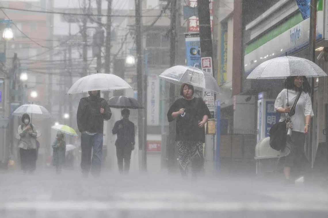
Meanwhile, the Japan Meteorological Agency announced that the rainy season began on June 7 in the Tokai region of central Japan and in the Kanto-Koshin region, which includes Tokyo on Honshu island [1, 2]. The start of the rainy season in Tokai was one day later than usual and 21 days later than in 2025, while in Kanto-Koshin it started near the usual date but 16 days later compared with last year [1, 2].
Authorities continue to monitor the situation closely as heavy rain persists across southwestern and western Japan. Rainfall forecasts and disaster warnings remain in effect through early June 8 [1, 2, 3].