Kuala Lumpur City Hall (DBKL) said it has cut flood and waterlogging hotspots in the city from more than 30 to 14 after drainage upgrades and other mitigation work, following flash floods triggered by heavy rain on May 6. [1, 2]
DBKL said it will prioritise the 14 flood-prone areas for immediate action and longer-term planning. Among the locations named were Jalan Sultan Azlan Shah, Lebuhraya Sultan Iskandar, Bulatan Datuk Onn and Jalan Tun Sambanthan. [1, 2]
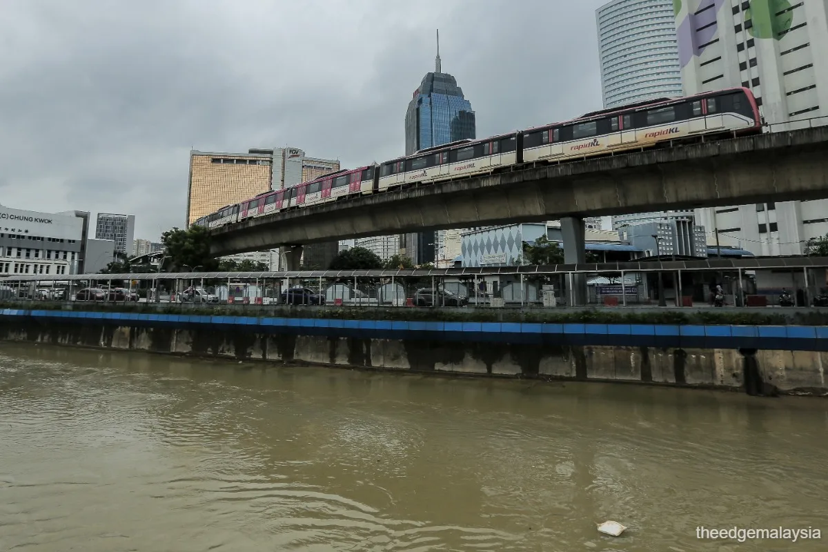
The agency said rainfall at the Universiti Malaya rain station reached 96.5mm in one hour on May 6, above the Department of Irrigation and Drainage warning level. The downpour caused flash floods in several areas, including Segambut Dalam, Pantai Dalam, Bukit Jalil, Kuchai Lama and near the Bukit Jalil LRT station. [1, 2]
DBKL said water levels rose above danger levels at some points, including Sungai Toba in Segambut Dalam at 43.14m against a 42.8m danger level, and Sungai Kerayong at 32.88m against a 32.66m danger level. [2]
DBKL has formed a Kuala Lumpur Flash Flood Hotspot Task Force that will be activated during heavy rain to monitor affected areas and clear drainage inlets. It is also increasing desilting work at Sungai Toba, although the two reports gave different schedules for the work. [1, 2]
The measures were announced at DBKL headquarters on May 12, where Federal Territories Minister Hannah Yeoh was present. DBKL also said it will add public weather alerts, including radio broadcasts, as it keeps work going at the remaining hotspots. [1]