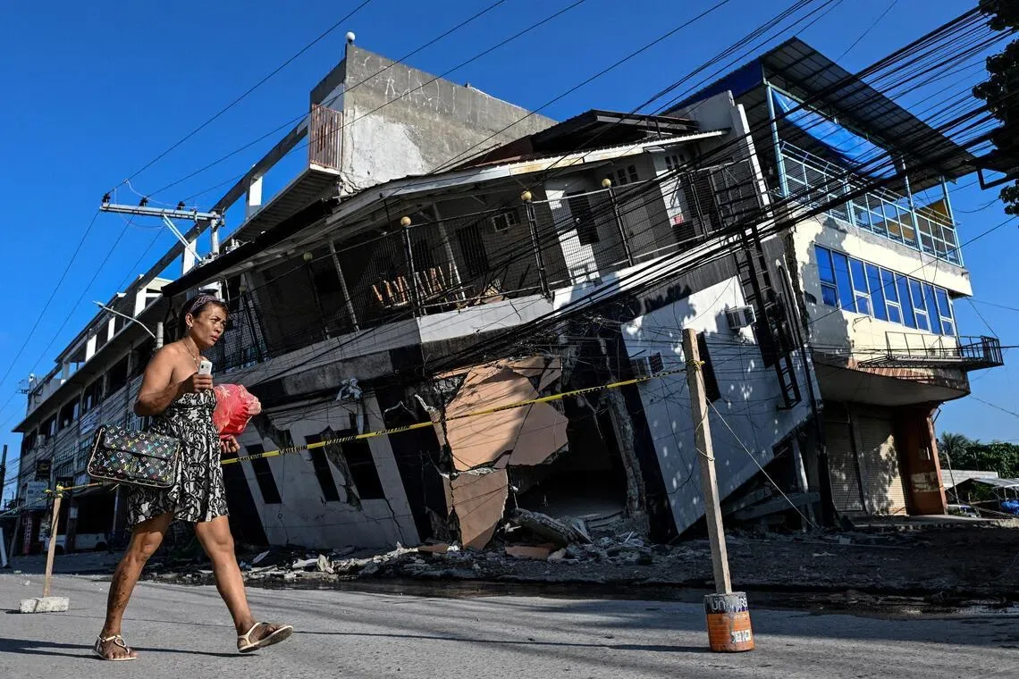
A powerful 7.8-magnitude earthquake struck southern Mindanao, Philippines on June 8, 2026, causing widespread destruction and deaths, officials confirmed today [1, 2, 3]. The quake originated from a abrupt shift in the Cotabato Trench near Mindanao [1, 2, 3]. It resulted in at least 76 fatalities, multiple building collapses, and triggered landslides across the region [1, 2, 3].
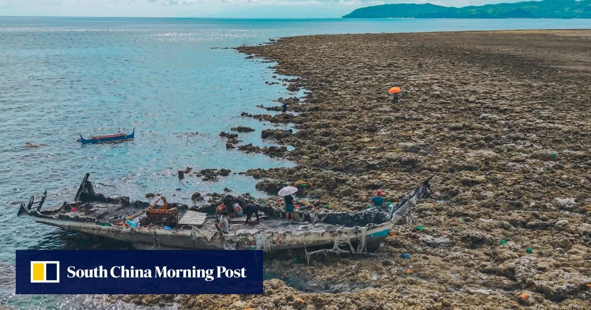
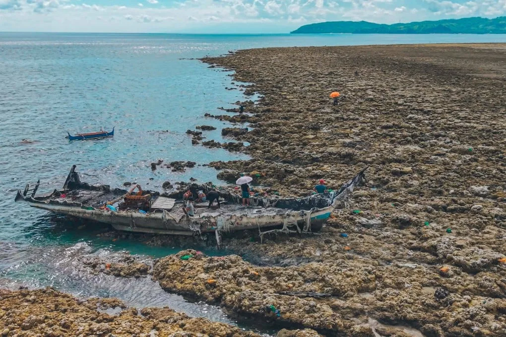
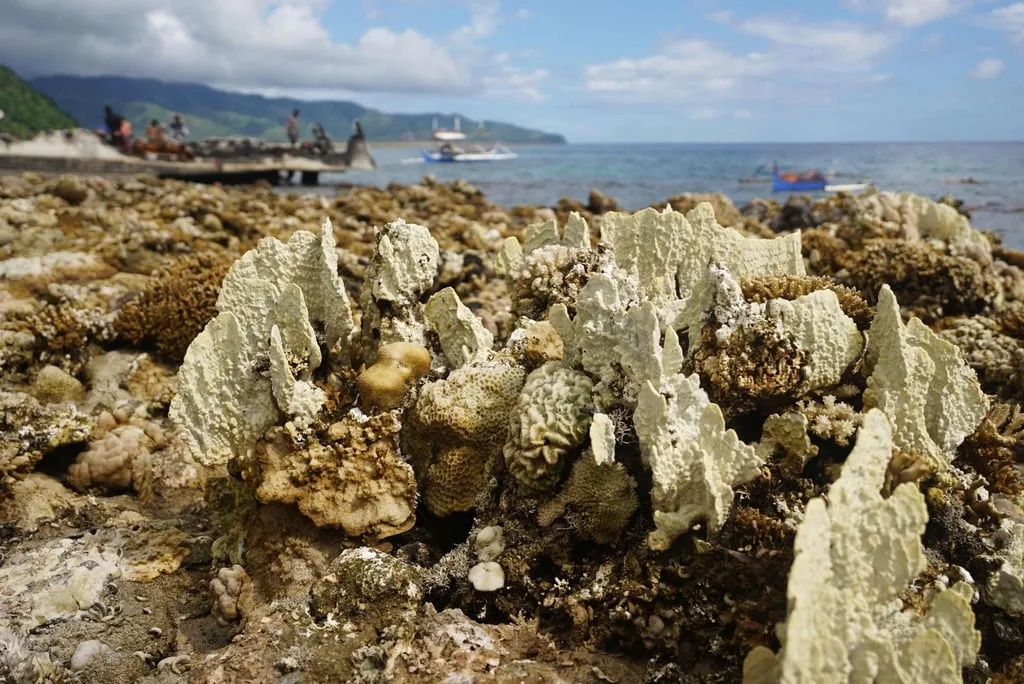
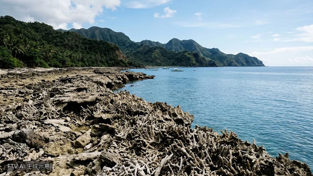
Experts have verified a permanent coastal uplift of roughly 2 meters resulting from the seismic event, which raised parts of the seabed and coastline [1]. This geological shift extended some coastal areas seaward by up to 200 meters [1, 3]. Previously submerged coral reefs emerged above water, forming jagged, dead coral walls stretching for kilometers along the shore [1, 2, 3].
Nane Danlag from the Philippines seismology center explained, "The (seabed) went up 2m. This has been going on for thousands of years." She added, "This is a natural tectonic process, and the change is permanent, with residents witnessing their new shorelines." [1, 3]
Residents in affected coastal communities reported witnessing multiple recessions and returns of seawater during the quake. Arsenio Butil Jr., a fisherman and pastor, described, "The people were extremely panicked. What I saw at the shoreline was that the water receded. After a while, I saw it slowly returning, and then it receded again, maybe three or four times. The fish were dying and floating." [1]
Since the main earthquake, the region has experienced over 8,500 aftershocks, contributing to ongoing instability [3]. The uplift and coastal changes have severely impacted local livelihoods, especially in fishing and tourism sectors [3].
Seismology experts confirmed the permanent coastal changes on June 19, reinforcing that the area's geological adjustments are part of long-term tectonic activity [1]. Relief efforts continue amid monitoring ongoing aftershocks.